


Ride Calgary Transit at no cost!
As a 250th ECS Meeting attendee, you have complimentary access to ALL Calgary public transportation during the meeting.
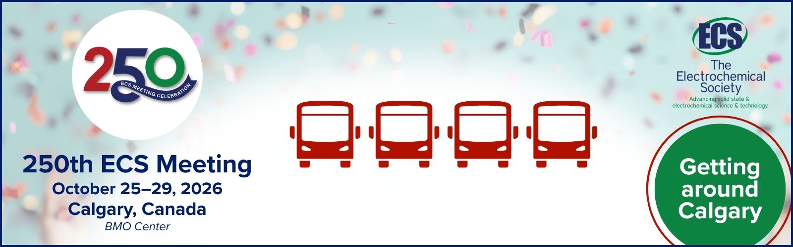
Your meeting badge, featuring this graphic of four buses at the bottom, serves as your transit pass.

Simply show your badge when needed to take advantage of this exclusive attendee benefit.
Haven’t picked up your badge yet? Print or show on your phone the email (arriving in your inbox the week of October 18) containing the QR code you’ll use to print your badge. The four buses are there, too!
Getting to the BMO Centre
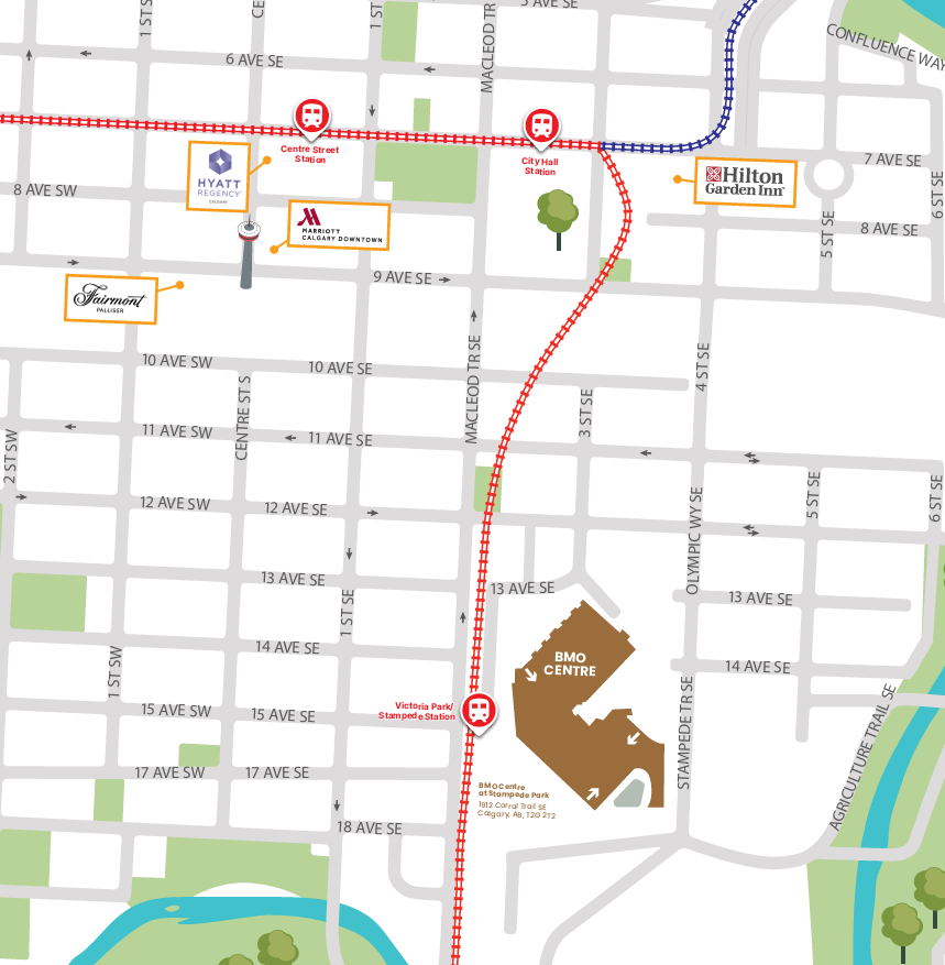
Whether you prefer to walk or take Calgary Transit, you’ll find everything you need below to get from your ECS meeting hotel to the BMO Centre at Stampede Park.
BMO Centre at Stampede Park
1912 Corral Trail SE
Calgary, AB
Each of the four ECS hotels has specific walking and Calgary Transit information. View your hotel’s route map PDF for an overview, or use the Google Maps links below for turn-by-turn directions.
You can also view all this information displayed in your hotel lobby.
Fairmont Palliser
View route map🚶 Walking | 1.2 km
Get walking directions in Google Maps.
🚆 Calgary Transit | Red Line
Get directions to Centre Street Station in Google Maps and then take the Red Line toward Somerset-Bridlewood and exit at Victoria Park/Stampede Station.
Hilton Garden Inn Calgary Downtown
View route map🚶 Walking | 800 m
Get walking directions in Google Maps.
🚆 Calgary Transit | Red Line
Get directions to City Hall/Bow Valley College Station in Google Maps and then take the Red Line toward Somerset-Bridlewood and exit at Victoria Park/Stampede Station.
Hyatt Regency Calgary
View route map🚶 Walking | 1.2 km
Get walking directions in Google Maps.
🚆 Calgary Transit | Red Line
Get directions to Centre Street Station in Google Maps and then take the Red Line toward Somerset-Bridlewood and exit at Victoria Park/Stampede Station.
Calgary Marriott Downtown
View route map🚶 Walking | 1 km
Get walking directions in Google Maps.
🚆 Calgary Transit | Red Line
Get directions to Centre Street Station in Google Maps and then take the Red Line toward Somerset-Bridlewood and exit at Victoria Park/Stampede Station.
This map also shows each hotel’s proximity to the BMO Centre and nearby public transportation.